France · Graian Alps · Savoie
Col de l'Iseran — 2,764 metres, the highest paved pass in France
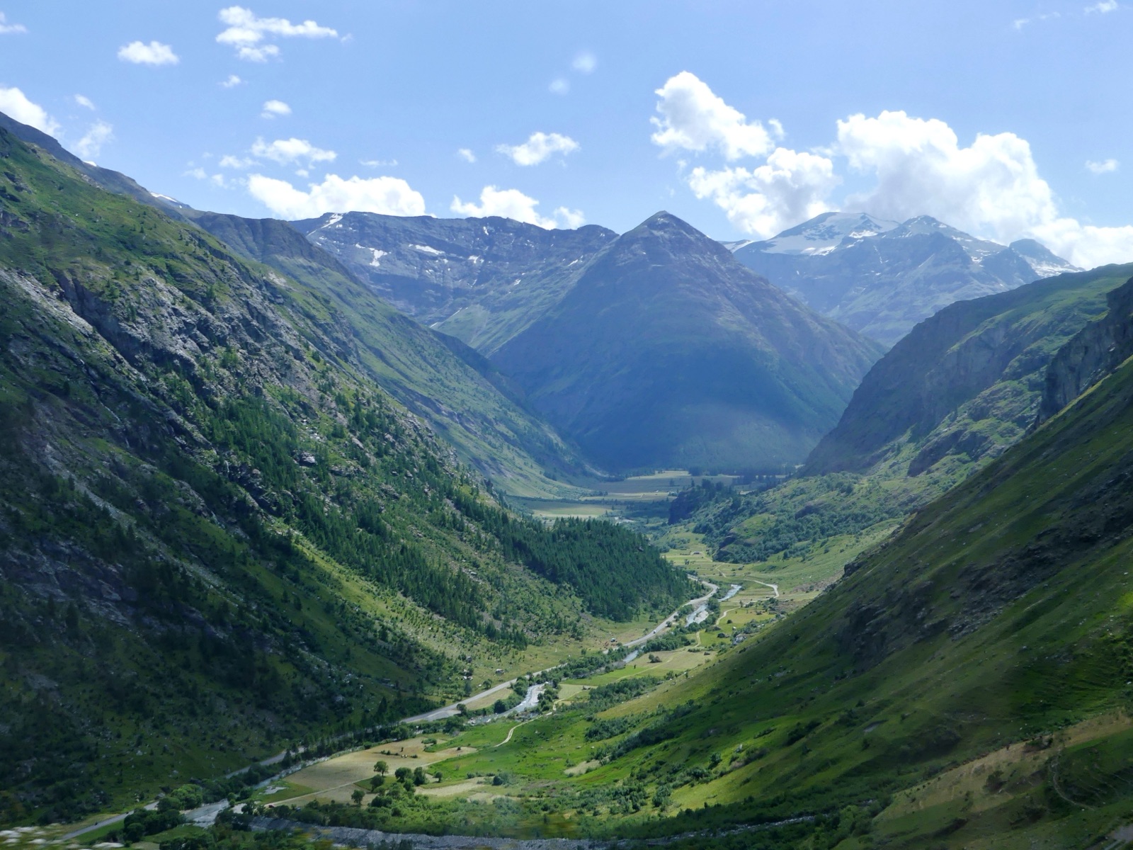
Profile of the Col de l'Iseran — 2,764m in the French Graian Alps, the highest paved pass in France, linking Val d'Isère to the Maurienne.
.JPG)

Col de l'Iseran is the highest paved pass in France and, if you set aside the Bonette summit loop, the highest in the Alps. The road links the Tarentaise valley in the north to the Maurienne in the south, crossing a stark high-altitude saddle that holds snow well into July.
History
The Iseran was completed in 1937 as the keystone of the Route des Grandes Alpes, the French tourist itinerary that runs from Lake Geneva to Nice. The saddle had been used for centuries as a summer shepherd crossing, but the ridge is too high and too exposed to maintain a permanent alignment; the modern road is open only about four months a year. The small granite chapel at the summit, the Chapelle Notre-Dame de Toute Prudence, was consecrated the same year and has served as a refuge for stranded travellers ever since.
Riding it
From Bourg-Saint-Maurice the full ascent is 48 km, but most riders start from Val d'Isère and take the short side, 16 km at a steady 7.5%. The air thins noticeably above 2,400 metres and the last few kilometres feel longer than they should.
The summit itself is austere: a granite chapel, a stone marker, a small café, and the kind of silence you only get above tree line. The descent south into Bonneval-sur-Arc is one of the great alpine drops, 1,000 metres down to a perfectly preserved stone village in the upper Maurienne.
Along the way
- Val d'Isère — The ski station at the foot of the north side, the practical overnight base and the start of the short climb.
- Bonneval-sur-Arc — Classified as one of the plus beaux villages de France, a hamlet of stone roofs, no concrete, and a step back in time at the foot of the south descent.
- Chapelle Notre-Dame de Toute Prudence — The small stone chapel at the summit, a refuge for travellers since the road opened in 1937.
- Maurienne descent — 1,000 metres of hairpins down to the Arc valley, with long sight lines and a steady grade that makes it one of the better French descents.
- Col du Galibier — The natural continuation if you're traversing from Tarentaise to Briançon.