France / Italy · Cottian Alps · Queyras
Col Agnel — 2,744 metres between Queyras and Piedmont
Profile of the Col Agnel (Colle dell'Agnello) — 2,744m on the France-Italy border, the third-highest paved pass in France, linking Queyras to the Varaita valley.

Col Agnel, Colle dell'Agnello in Italian, is the third-highest paved pass in France and one of the least busy of the big border crossings. The road stays closed for roughly eight months of the year, which keeps the character of the pass genuinely wild.
History
The saddle has been a cross-border path for centuries, used by shepherds, smugglers and the occasional army. The modern road was paved in stages through the 1950s and 60s, late enough that the kind of permanent tourism traffic that built up on the Galibier or the Iseran never really arrived. Old granite border stones from the Kingdom of Sardinia still stand on the summit, in their original places.
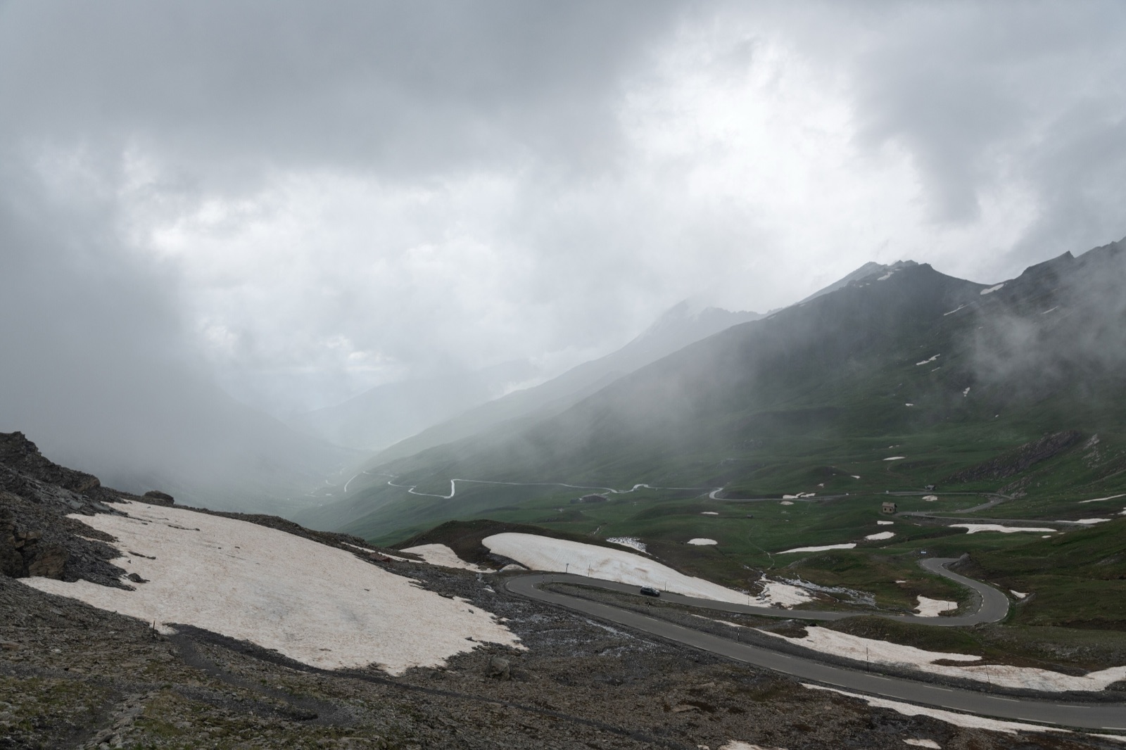
Riding it
From Château-Ville-Vieille on the French side it is 20 km, first through the villages of Molines and Pierre-Grosse, then out above the treeline for a final 7 km that average 9% with ramps touching 14%. The Italian side from Pontechianale is a similar length but ramps harder in the upper section.
The summit is a narrow saddle with a cold wind most days and a sweeping view east into the Monte Viso massif. It feels remote in a way Galibier or Iseran don't, because the valleys on both sides are genuinely lightly populated.
Along the way
- Queyras regional park — The protected French valley the climb starts in, with larch forest and traditional wooden chalets standing above the road.
- Old border stones — Granite markers at the summit, some dating to the Kingdom of Sardinia, still in their original positions.
- Fort Queyras — The Vauban-era fortress on the approach road, a seventeenth-century military complex worth a stop on the way up.
- Saint-Véran — At 2,040 metres the highest commune in Europe, a short detour off the main climb through a village of preserved stone and wood.
- Col du Galibier — The logical pairing for a high-altitude Briançonnais multi-day route.