Argentina · Salta · Andes
Abra del Acay — 4,972 metres on the old Ruta 40
Profile of Abra del Acay — 4,972m in Salta Province, the highest point ever reached by Argentina's Ruta 40 and the highest road pass on a national highway in the Americas.

Abra del Acay reaches 4,972 metres (16,312 feet) in the northern Argentine Andes, in Salta Province. The old summit sign reads 4,895 m and many older guidebooks still use that figure, but modern GPS surveys put the pass at 4,972 m. It is the highest point ever carried by Ruta Nacional 40, the 5,200-kilometre highway that runs the length of Argentina from the Bolivian border to the Strait of Magellan, and the highest road pass on a national highway in the Americas. Ruta 40 was rerouted in 2006 to avoid the pass; the original line is now the provincial track RP 129 and sees a few vehicles a day in summer.
History
The road was cut in the 1940s to serve the sulphur and borax mines on the Puna plateau, and for half a century it carried the main north-south traffic of the old Ruta 40. The 1970s saw regular bus service over the pass between San Antonio de los Cobres and La Poma. After the 2006 realignment, the crossing fell back into a lightly trafficked summer-only corridor used mostly by overlanders, motorcyclists on the Ruta 40 challenge, and the occasional mining truck.
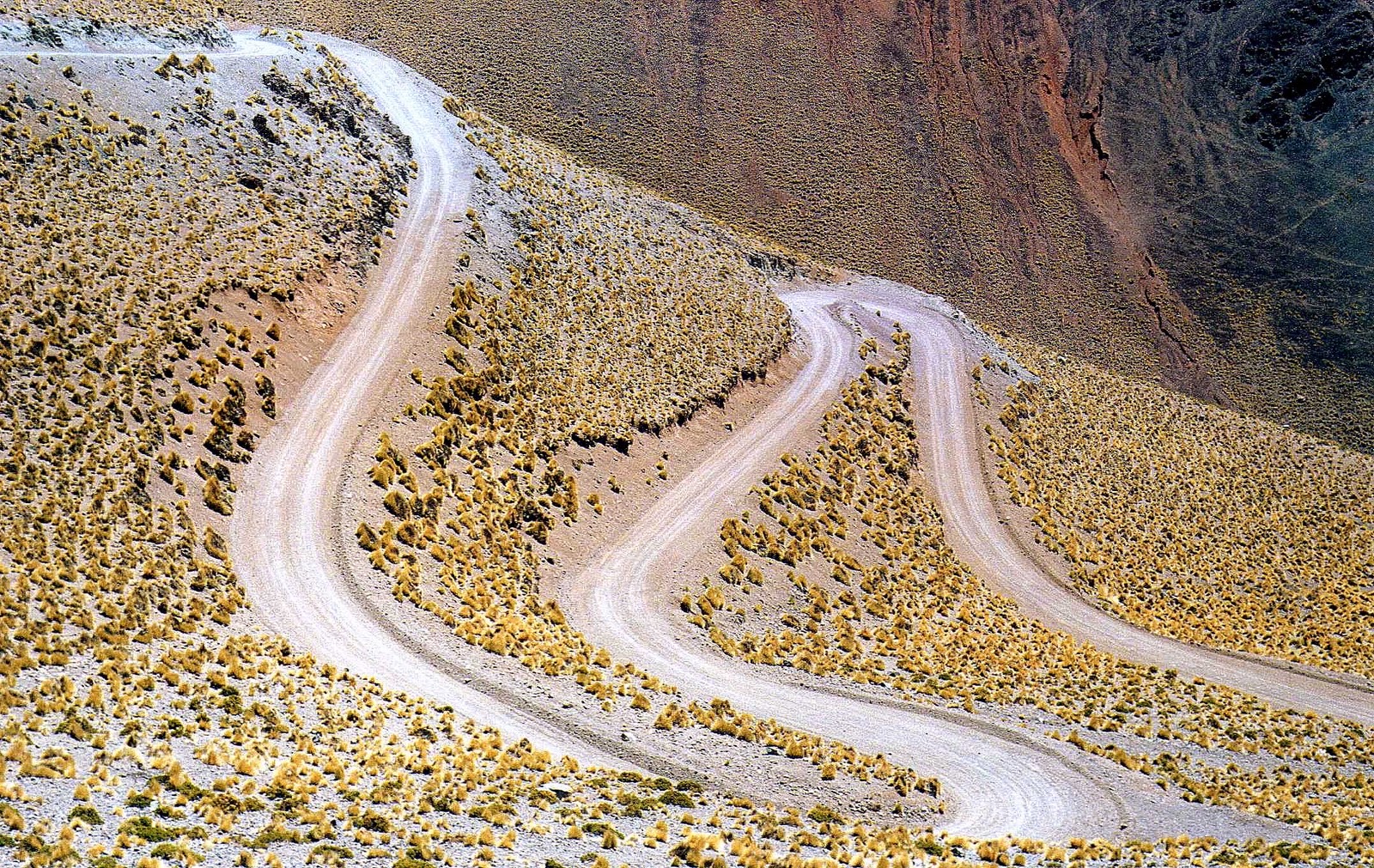
Riding it
From the south, the climb leaves San Antonio de los Cobres at 3,775 metres and gains 1,120 metres in 17 kilometres of gravel with dozens of shallow water crossings. The grade is moderate by high-altitude standards but the altitude itself is the defining factor. Most drivers acclimatise for at least a night in San Antonio before attempting the pass.
The summit is marked by a stone cairn and a battered wooden sign reading 4,895 m, the old survey figure. The descent to La Poma on the north side is the rougher of the two, with looser surface and more exposure.
Along the way
- San Antonio de los Cobres — 3,775 m mining town at the south foot, the usual base.
- Tren a las Nubes — the "Train to the Clouds" terminates nearby, crossing the 4,220 m La Polvorilla viaduct.
- Summit cairn — stone marker and the original 4,895 m altitude sign, still in place.
- La Poma — small adobe village at the north foot, on the RP 129.
- Salinas Grandes — vast salt flat on the plateau west of the pass, 500 km² of cracked white hexagons.