New Zealand · Otago · West Coast · Southern Alps
Haast Pass — the West Coast crossing of the Southern Alps
Profile of Haast Pass / Tioripatea — 564m on State Highway 6, the southernmost sealed crossing of New Zealand's Main Divide, between Wanaka and the West Coast.

Haast Pass, or Tioripatea in te reo Māori, is the southernmost of the three sealed crossings of New Zealand's Main Divide. The others, Arthur's and Lewis, lie further north. The pass itself is low at 564 metres, but the crossing is dramatic: it links the dry tussock basin of Lake Wanaka with the rainforest of the West Coast, one of the wettest places in the country.
History
The pass was first crossed by Europeans in 1863, when surveyor Julius von Haast followed a Māori greenstone-trading route through the Southern Alps. The modern road followed a century later. State Highway 6 was bulldozed through to Haast village in 1965 but was only sealed end-to-end in 1995, making it the last major highway in New Zealand to be paved.
The surrounding landscape is part of Te Wāhipounamu, a World Heritage Area covering 10% of New Zealand's land area and some of the last unlogged temperate rainforest on earth.
Riding it
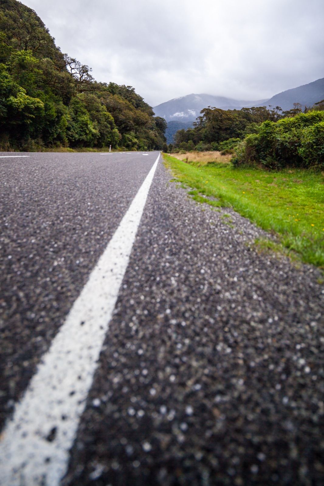
From Wanaka the approach runs along Lake Hāwea and then Lake Wanaka itself, with the Southern Alps filling the view ahead. The climb proper is short; the summit is only 280 metres above the north end of Lake Wanaka, and the saddle is broad and forested. The descent into the Haast valley is the memorable side: waterfalls pour off the forested walls, the Haast River drops through the Gates of Haast gorge, and rainfall climbs steeply from around 1 metre a year at the saddle to 6 metres on the coast.
Along the way
- Blue Pools — short walk to glacial meltwater pools on the Makarora River, clear enough to see schist boulders on the bed.
- Thunder Creek Falls — 28 m waterfall directly off the highway, signposted pullout.
- Gates of Haast — the narrow gorge section with a tall single-span steel bridge over the river.
- Haast village — small West Coast settlement at the bottom of the pass, last fuel and lodging for 120 km north to Fox Glacier.
- Knights Point — coastal viewpoint 30 km north of Haast with a monument to the 1965 road completion.
- South Island High Country loop — the three-pass circuit from Queenstown.