Italy · Eastern Alps · Ortler Range
Stelvio Pass — 48 switchbacks to 2,757 metres
Profile of the Stelvio Pass — 2,757m in the Italian Alps, 48 numbered switchbacks, and one of the most photographed roads in the world.

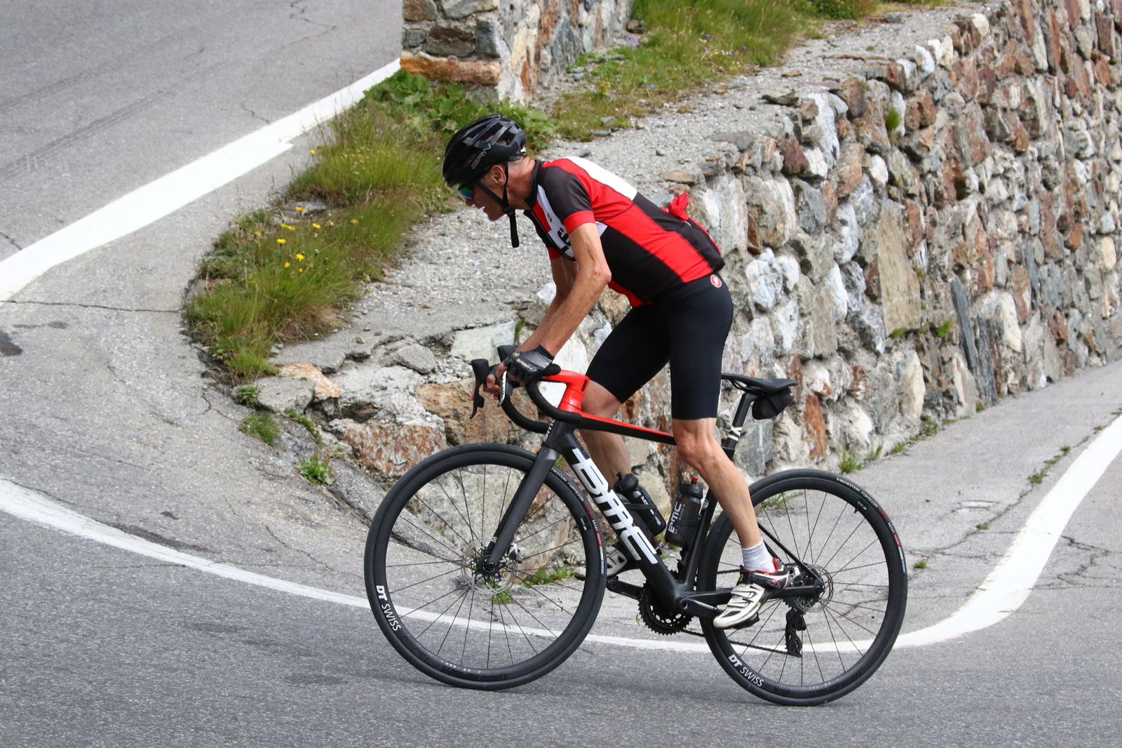
The Stelvio sits at 2,757 metres in the eastern Alps, a stone's throw from the Swiss border. The east ramp from Prato allo Stelvio stacks 48 numbered switchbacks into a near-vertical wall, each one labelled on a small roadside plate, counting down as you climb. It is, by most reasonable definitions, the most photographed road in the Alps.
History
The pass was built between 1820 and 1825 by Austrian military engineers who needed a route from Lombardy into Tyrol that didn't cross Swiss territory. Two hundred years later the alignment has barely changed: the same 48 hairpins, the same stone-walled ramps, the same uncompromising engineering. You are riding a nineteenth-century idea.
Riding it
The east side from Prato is the classic: long, cold, and relentless, tightening into the final switchbacks above Trafoi. The west side from Bormio is shorter, steeper in places, and often missed by photographers, which is a mistake. Both sides get properly cold above 2,400 m even in July; bring a jacket for the descent.
The Cima Coppi
When the Giro d'Italia visits, the Stelvio is usually that year's "Cima Coppi", the highest point of the race, named in honour of Fausto Coppi. A plaque near the summit marks the first Giro crossing in 1953.
Along the way
- Dreisprachenspitze — The "three-language peak" at the summit where Italian, German, and Romansh territories once met. A short walk from the car park with a panoramic view into three valleys.
- Switchback viewpoint (Kehre 48–40) — The upper east-side hairpins are the iconic photo spot. Best light: early morning.
- Tibet Hütte — Restaurant at 2,800 m just below the summit, popular with motorcyclists. Outdoor terrace with views of the Ortler range.
- Trafoi waterfall — Visible from the road on the east side around switchback 30. The falls drop 200 m through a cliff face.
- Bormio thermal baths — At the western foot. After a cold descent, the 9th-century Roman baths are exactly what you need.
- Passo Gavia and Mortirolo — The two sibling climbs of the Valtellina, usually ridden as a three-pass day.
- Stelvio-Gavia-Mortirolo loop — The multi-day route that strings the three together.