Lesotho · Drakensberg · KwaZulu-Natal border
Sani Pass — the Drakensberg 4x4 classic
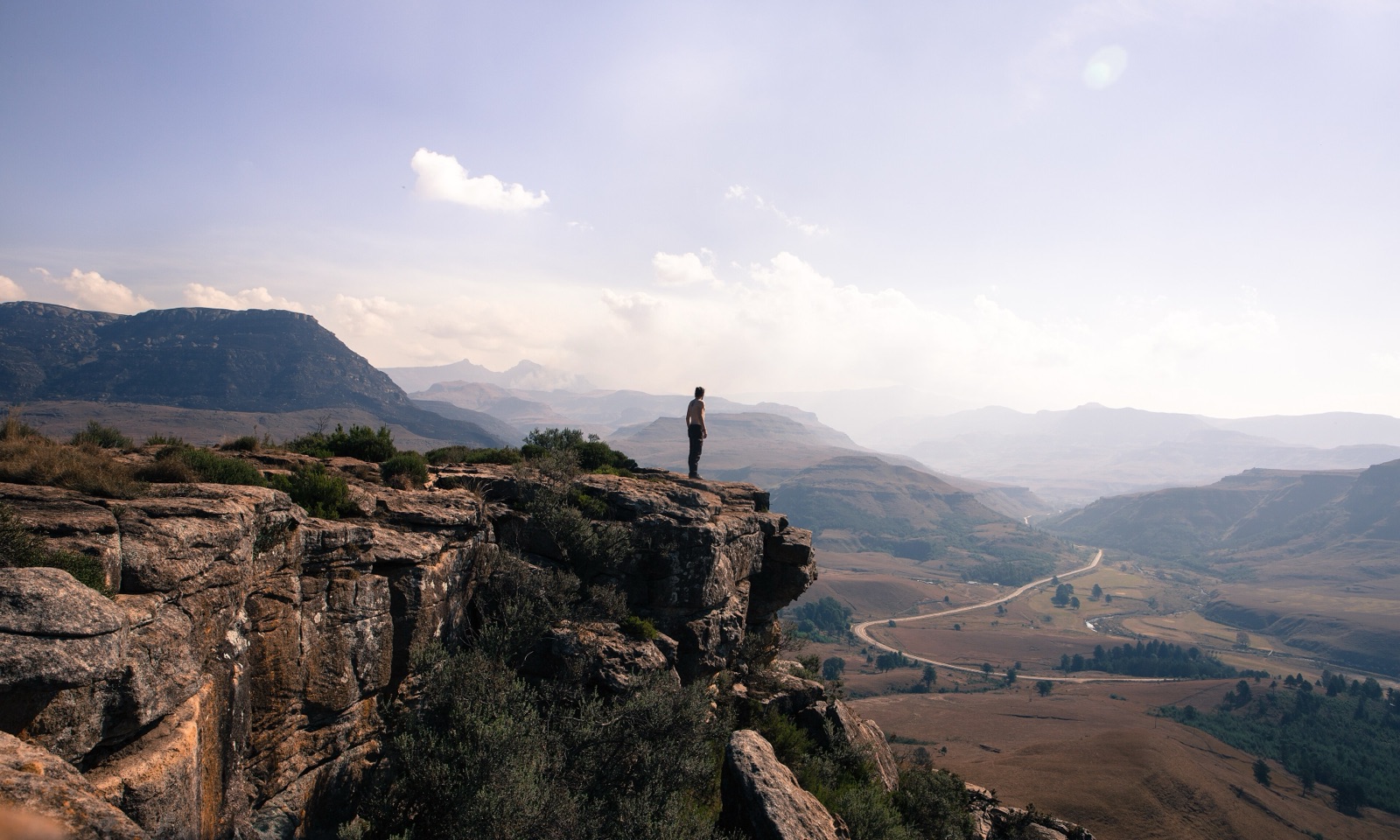
Profile of Sani Pass — 2,876m on the Lesotho–South Africa border, the iconic switchback climb out of KwaZulu-Natal and home of "the highest pub in Africa".
.jpg)

Sani Pass is the most famous mountain road in southern Africa, a switchback climb from the forested lowlands of KwaZulu-Natal in South Africa to the tussock plateau of Lesotho at 2,876 metres (9,436 feet). The summit is a border post, and the Sani Mountain Lodge at the top bills itself as "the highest pub in Africa".
History
The road was cut in the 1950s as a mule track to supply trading posts in the Lesotho highlands, and was widened for 4x4 traffic in the 1960s. It became a popular overland route into Lesotho in the 1980s, and until 2018 the South African side remained gravel with a 4x4-only requirement for the upper switchbacks. The Lesotho side was tarred in the 2010s as part of the same water-project investment that built Tlaeeng Pass.
Plans to tar the South African side have been announced periodically since 2006. As of 2026 the upper 8 kilometres remain gravel, though the KwaZulu-Natal Department of Transport has said it expects work on the 4x4 section to begin in the 2025–2026 window.
Riding it
From Underberg the road is tarred for 22 kilometres to the Mkomazana valley and the South African border post. From there, 8 kilometres of loose gravel and rocky switchbacks climb 1,300 metres to the Lesotho border at the summit. Low range and good ground clearance are required; sedans are routinely turned back at the border by the South African police. Snow closes the pass for short periods in winter, and heavy rain can wash sections out in summer.
The summit itself is flat and cold, with the border post, the lodge, and a handful of grazing ponies. Crossing into Lesotho gives access to Mokhotlong and the wider Maloti road network.
Along the way
- Mkomazana valley — forested lower valley on the South African side, with the Sani River cascading alongside the road.
- Ice Corner — tight north-facing switchback about two-thirds up, often iced in winter.
- Sani Mountain Lodge — stone lodge at the summit, restaurant and bar advertised as the highest in Africa.
- Thabana Ntlenyana — southern Africa's highest peak at 3,482 m, a two-day walk east of the pass top.
- Tlaeeng Pass — the highest paved road in Africa, 120 km north in Lesotho.